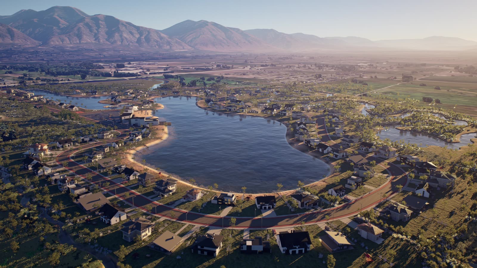
Energy & infrastructure on the real map
Plants, data centers and infrastructure shown exactly where they'll be built — on Google's photoreal 3D map, at true scale, from the road and from the air.
For a large site, the most convincing image isn't a render in a void — it's the project in its real landscape, next to the roads, homes and terrain people already know. We combine Unreal Engine 5 with Cesium and Google Photorealistic 3D Tiles to place your project on the actual site and animate it.
On the real map
Your site on Google's photoreal 3D tiles — true location, terrain and surroundings.
Views that matter
Eye-level views from roads and nearby homes, plus aerial overviews of the whole site.
How it works
Cutaway animations of a plant, a data hall or a process for non-technical audiences.
Phasing over time
Construction phases and future expansion shown as a sequence on the same map.
Districts and masterplans placed on real-world maps in Unreal Engine 5.
Who it's for
Developers and operators of power plants, solar and storage sites, data centers, industrial parks, logistics hubs and large masterplans — and the agencies, engineering firms and economic-development teams that present them.
Where it's used
Permitting and planning submissions, public and community meetings, investor and lender presentations, partner and customer pitches, press releases and recruiting. One accurate scene serves all of them, so updates are quick when the design changes.
Interactive, not only video
Because the scene runs in real time, we can also deliver an interactive version: an app or a browser experience where viewers move around the site, switch phases on and off, and see the project from any address nearby.
Our latest showreel — Unreal Engine 5
Frequently asked questions
How accurate is the real-map context?
We use Google's Photorealistic 3D Tiles through Cesium for Unreal, which carry the real terrain and surrounding buildings. Your project is placed by its actual coordinates and built from your drawings or models.
Can you show the view from a specific house or road?
Yes. We can set cameras at specific addresses, roads or viewpoints so communities and planning bodies see exactly what will be visible from there.
Do you work on confidential or early-stage sites?
Yes, under NDA. Early sites are often the most useful to visualize, before decisions are final.
Can we get an interactive version too?
Yes. The same Unreal Engine 5 scene can be delivered as a real-time app for presentations, kiosks or touch screens.
Have a site to show where it will stand?
A fixed, all-in quote within 24 hours. No hidden costs.
Get a 24h quote →Explore everything we do
 Service · Rendering
Architectural rendering
Exteriors · Interiors · Real estate
 Service · Animation
3D animation & film
Architectural film · Industrial & factory · Product & automotive
 Service · Visualization
Architectural visualization
Stills & film · VR & immersive · 3D scans
 Service · Modeling
3D modeling
Architectural · Product & hard-surface · Real-time ready
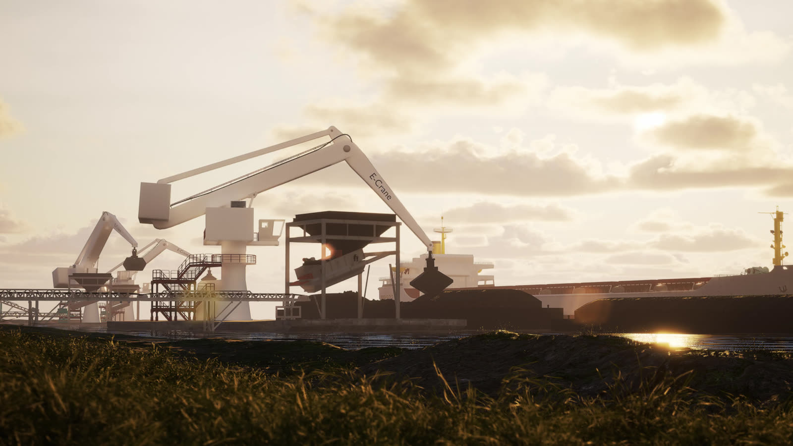 Industry · Manufacturing
Factory & process animation
Process animation · Plant & site films · Product & machine
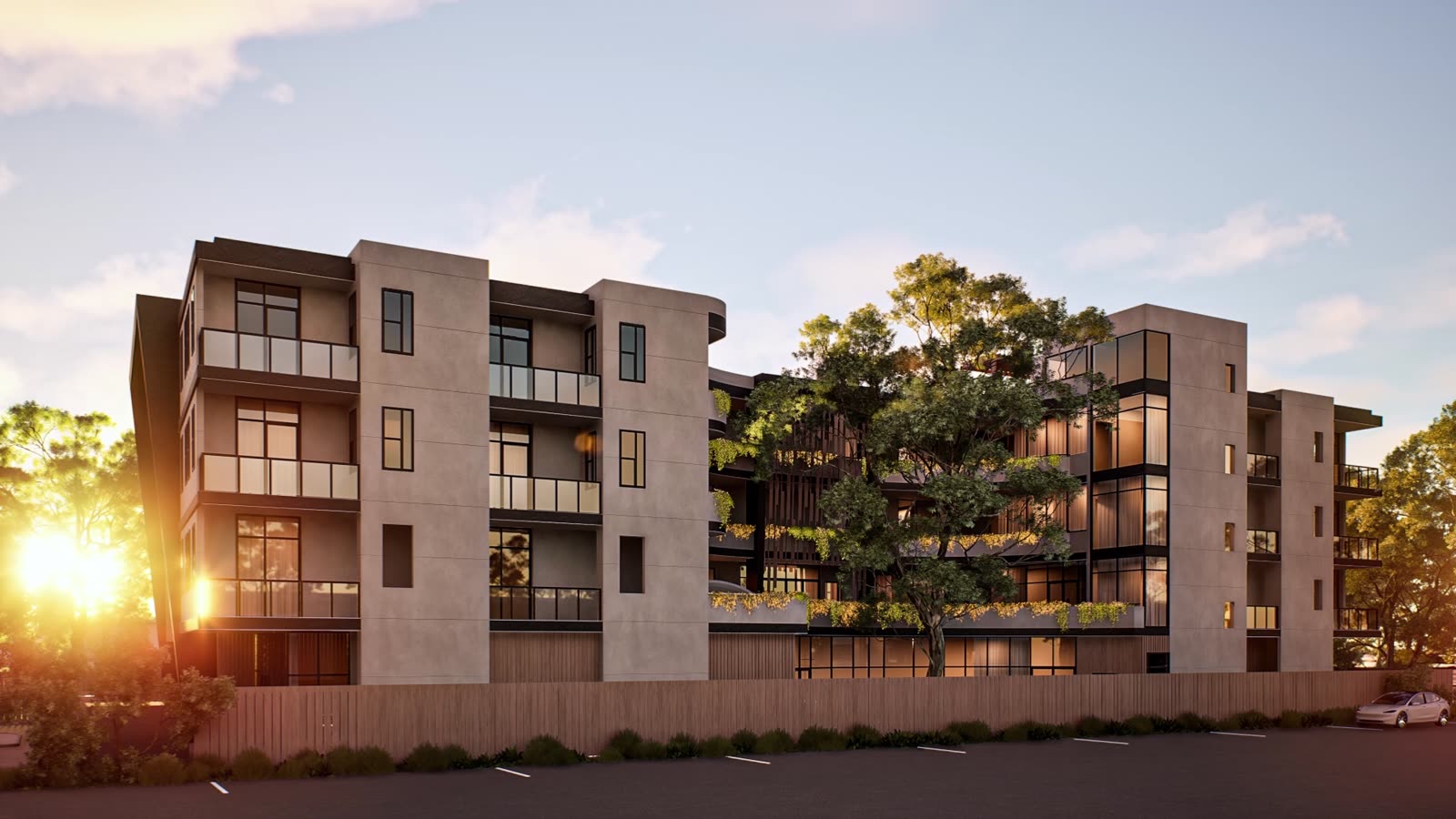 Industry · Real estate developers
Development marketing, start to sellout
Presale renders · Launch film · Live 3D tour
 Industry · Real-time & digital twins
Digital twins & Unreal Engine apps
Digital twins · Configurators · Control apps